Welcome to the Milton-Under-Wychwood heritage trail
The Heritage Trail

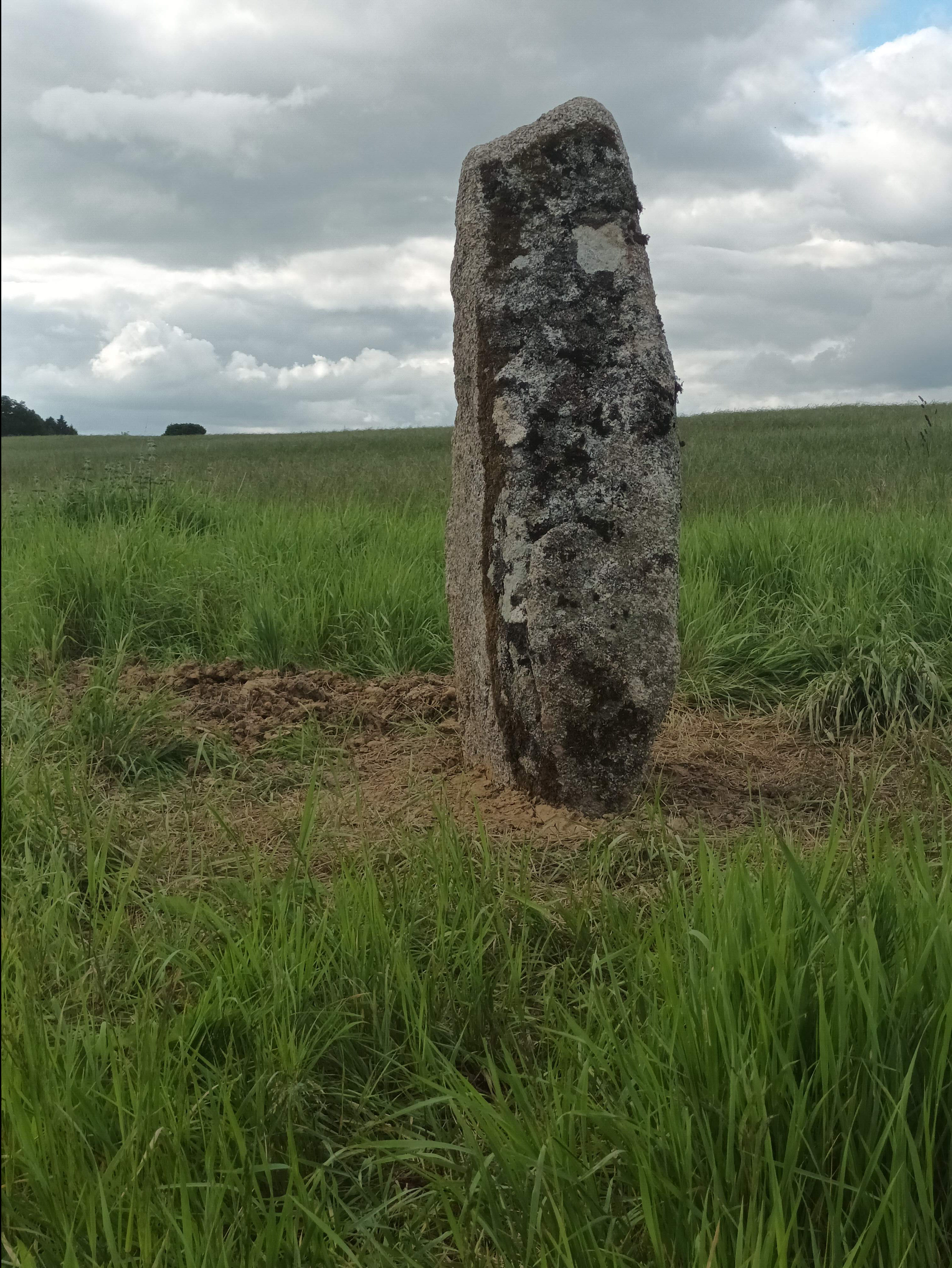
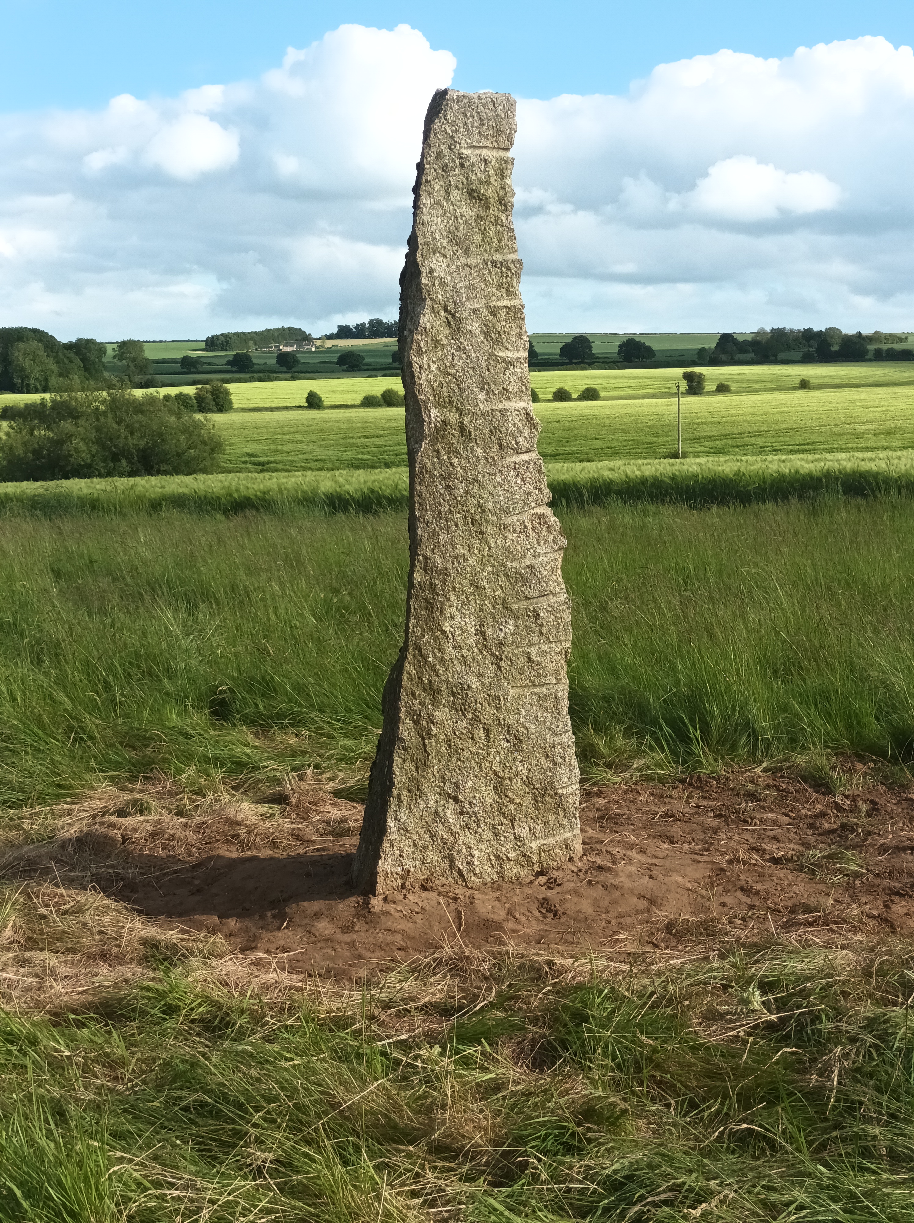
Our Heritage Trail features five monolithic stones with accompanying engraved slates. It was created through an Art Project paid for with funds resulting from the St Judes development.
Internationally renowned local artist Julia Sorrell conceived the idea for the trail. Julia was inspired by seeing the connection many people made with similar standing stones in the Orkneys.
The aim is to harness this inspiration to help add to our knowledge of our local area. Within this site you will find information on the history of the area, the development of its distinctive landscape, its flora and fauna.
The Parish Council led the project. The Wychwood Local History Society contributed much of the historical text.
Please enjoy exploring the stones. And please enjoy using the website. We will continue to develop its contents, and we welcome your feedback!
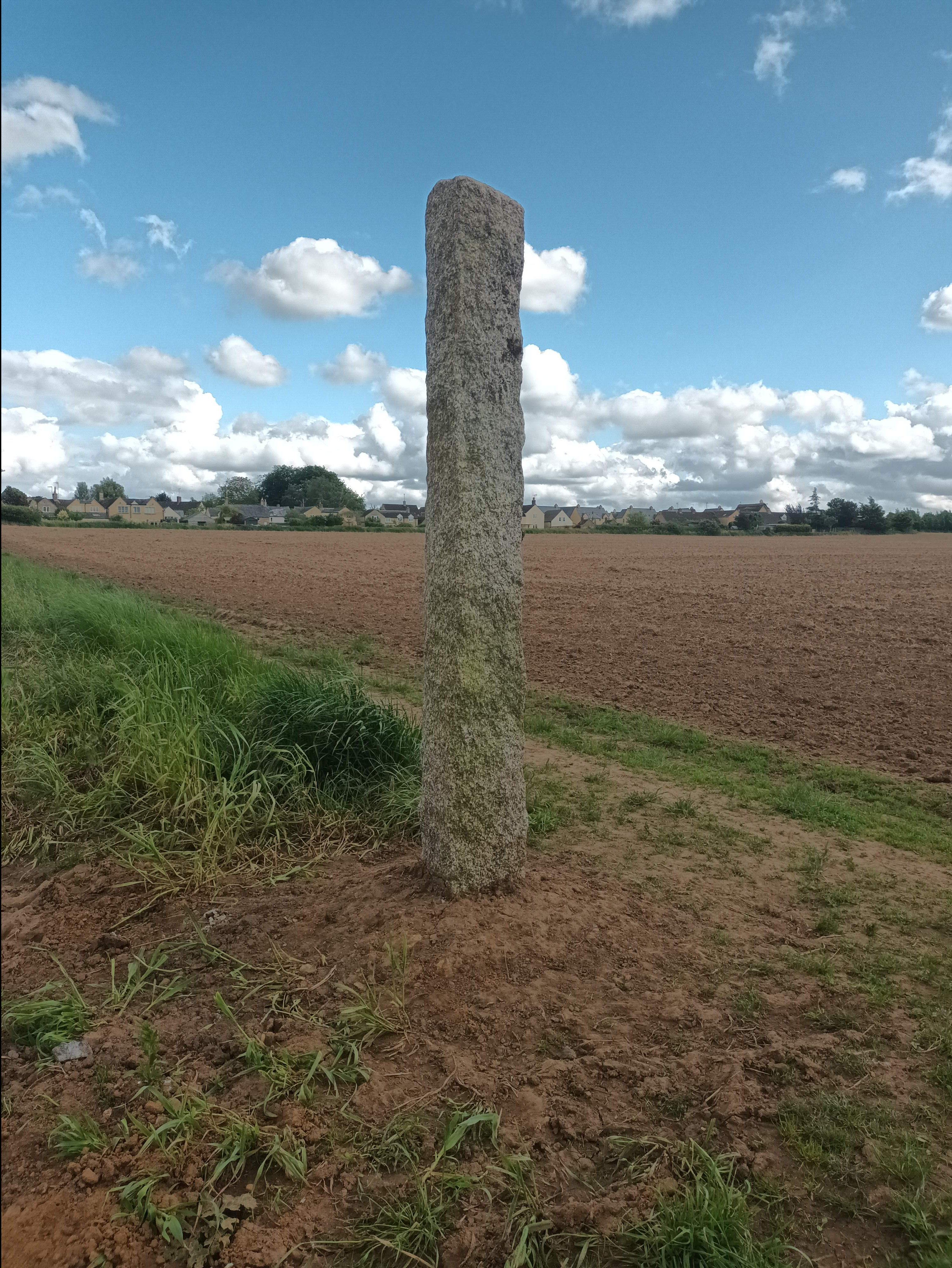
Bruern Bridleway Stone
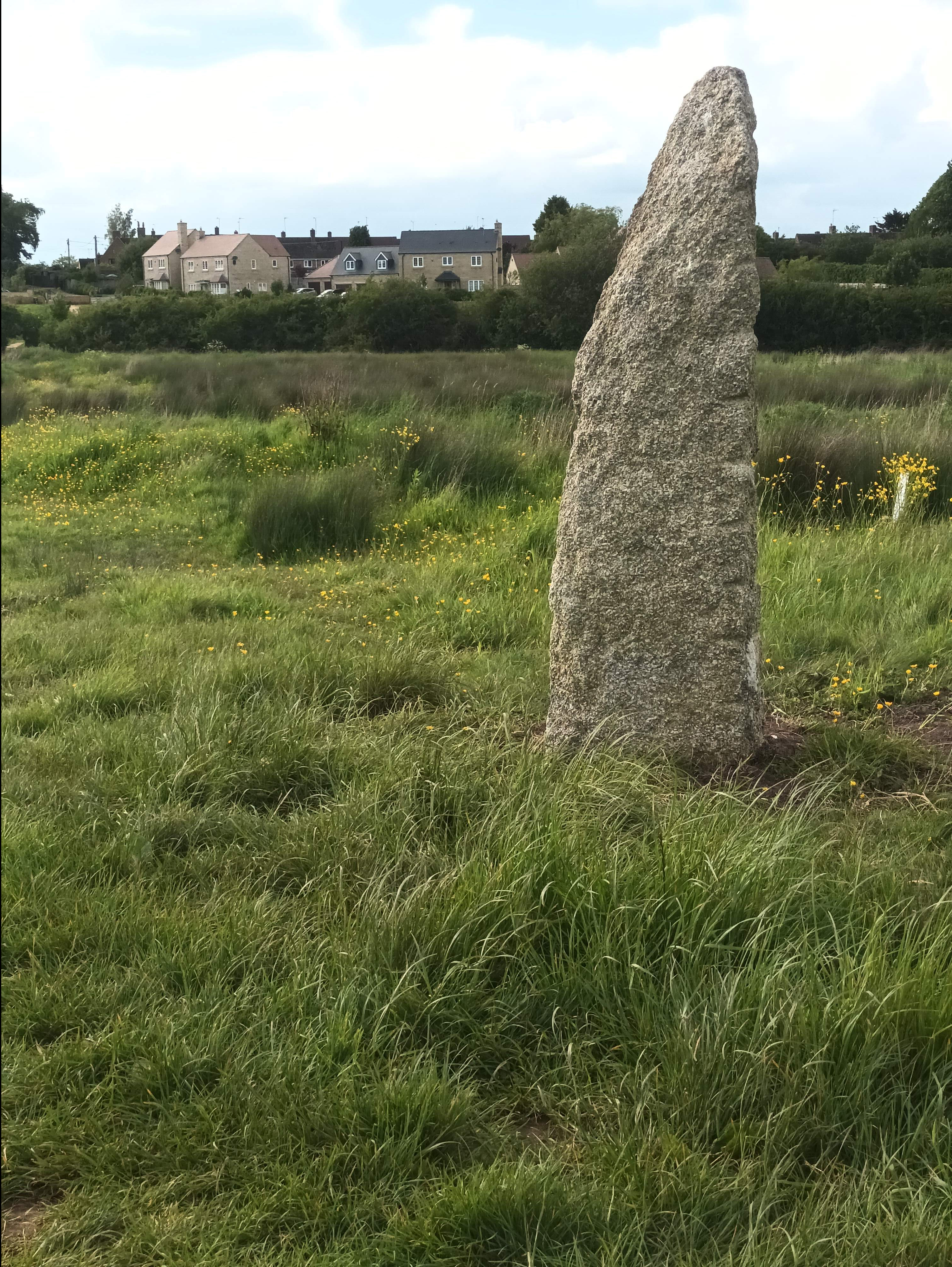
Sarah’s Meadow Stone
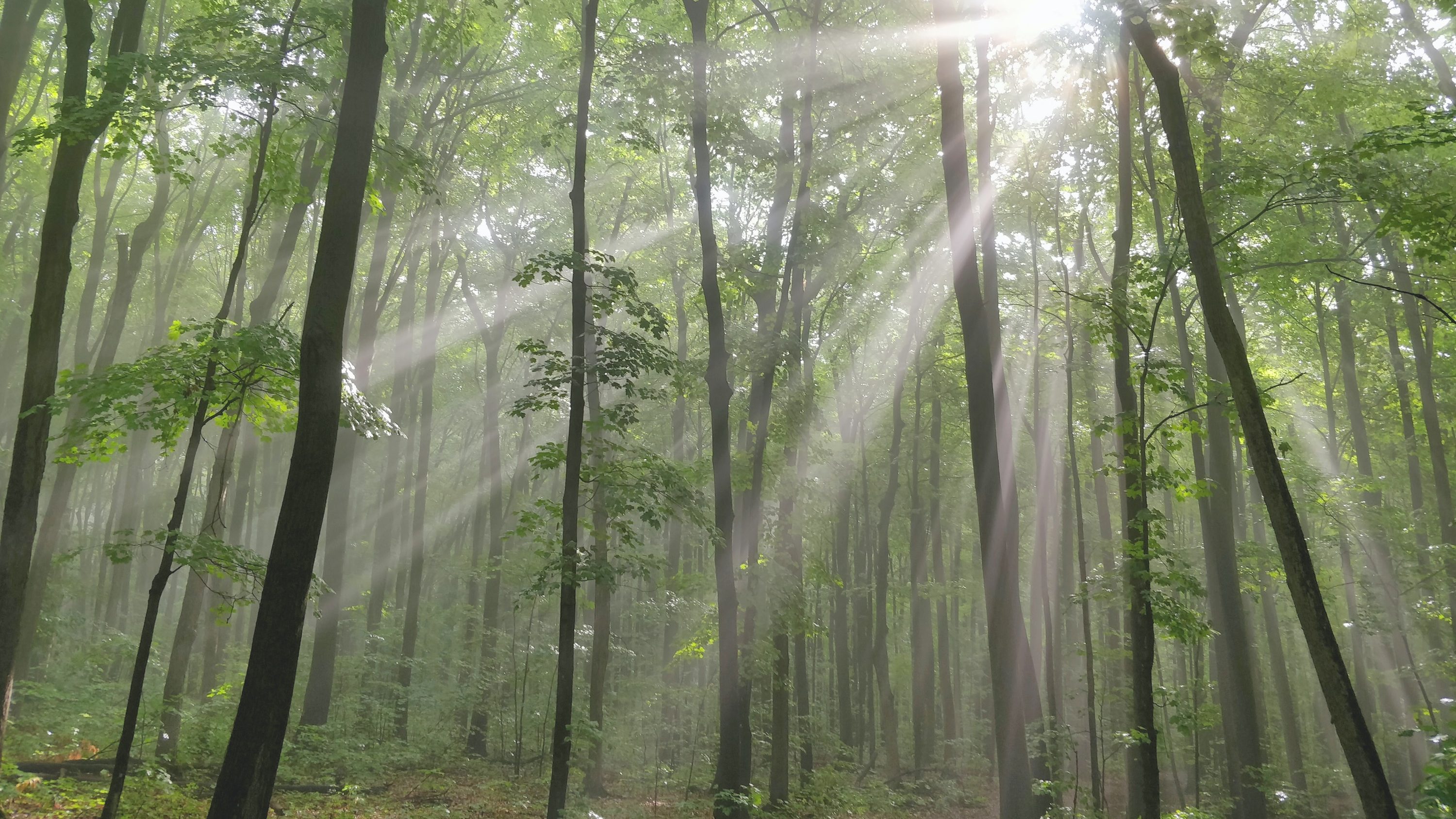
Woodland Walk Stone
St Jude’s Stone
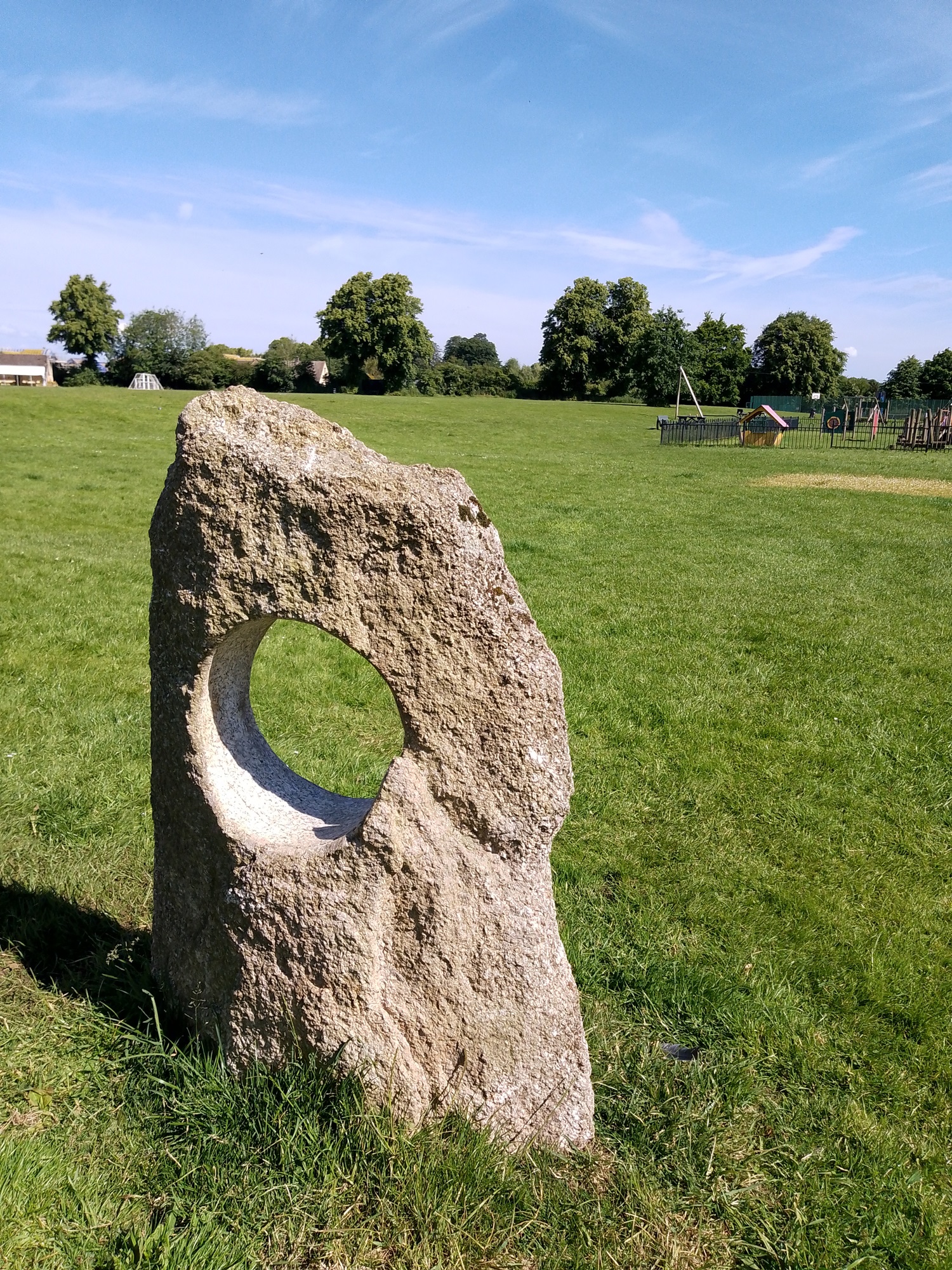
Village Green Stone
Heritage Notes
A short history of Milton-Under-Wychwood:
The parish of Milton-under-Wychwood comprises the two distinctive villages of Milton and Upper Milton. Milton is the larger village whilst Upper Milton is a satellite hamlet comprising a number of farmsteads interspersed with a handful of cottages; some of the farms and barns now converted to residential accommodation. In 2021 the population of the parish was 2,068 occupying 823 households.
The main village of Milton-under-Wychwood sits on a small rise of ground between two brooks that skirt its eastern and western perimeters. The western brook is known as Littlestock Brook Woodland Walk stone > , and the eastern brook is known as Simmonds Brook Sarah’s Meadow stone >. These two brooks originate as springs in the higher ground to the south of the village and eventually merge near the boundary with Shipton-under-Wychwood whence the united brooks feed into the River Evenlode.
These two watercourses are no doubt a significant reason for the establishment of a settlement here. The village is surrounded by a diverse agricultural hinterland, allowing for mixed farmland. Milton is mentioned in the Domesday Book as a township within the larger Royal Estate of Shipton-under-Wychwood. Milton finally became an independent civil parish in 1866.
Milton’s economic base, until the 20th Century, has been dominated by agriculture, but enhanced by a strong representation of other trades, in particular stone-quarrying, stone masonry and building trades. From the 13th Century much village land was in the ownership of nearby Bruern Abbey, a Cistercian abbey a mile to the north of Milton, adjacent to the River Evenlode, founded in 1147. The Abbey was demolished almost without trace in the mid-16th Century following the dissolution of the monasteries by Henry VIII. The Abbey and the village would have existed in a mutually cooperative relationship for many centuries, a period when Cotswold sheep farming was at its zenith. Bruern Bridleway Stone >
Following the dissolution of the monasteries Milton had no dominant lordship and this gave the village a certain sense of independence. The historic parish church was over a mile away in Shipton and this seems to have left Milton somewhat neglected by the Church of England, a void soon filled by nonconformist groups. The Quakers established a meeting house in the village in the 18th century on Green Lane (a cottage now known as Quaker’s Piece), and by the mid-19th Century there were three nonconformist protestant chapels: Primitive Methodists; Baptists and Strict Baptists.
James Haughton Langston MP (1796 – 1863) of Sarsden Manor became a significant estate manager and landowner in the area, especially after Milton achieved parliamentary enclosure in 1849. Langston’s influence extended beyond agriculture. He also took concern for the physical, educational and spiritual needs of the parish and in 1853-4 he provided land for, and largely funded, the build of the Anglican church of Saint Simon and Saint Jude and adjoining school in Milton in 1853-4. This gesture was partly motivated as a counter action against the influence of the sometimes-radical nonconformist groups colonizing the village. He also constructed a village water supply – fed from the springs in Upper Milton. Taps originally fed from this supply are still visible in various locations around the village, including the wall fronting the parish church.
The Groves family became a dominant economic, social and political force in 19th and early 20th Century Milton, through the successful pursuit of quarrying, stone masonry and other building trades. They were also prominent Baptists and came to be significant landlords in the village and built several of the higher-status 19th Century villas in Milton. They leased quarries to the south of the village, and across the border in Taynton parish. Stone being most accessible nearer to the ridgeway which is crested by the Burford-Stow road, an old turnpike route. Groves had settled their workshops around a historic farmstead, The Elms, within the heart of the village, by the early 19th Century. Descendants of the Groves family still manage the site. As quarry managers and builders Groves oversaw an important business within the village reaching their heyday in the century from 1870s to the 1970s, being steered in the earlier decades by the patriarch Alfred Groves (1826-1914). His name still brands the business, and his gravestone, and those of other members of the Groves family, can be found in the Baptist Chapel graveyard.
The historic fabric of Milton comprises cottages dating back to the 18th Century, a handful of smarter Georgian houses, and a pleasing mix of Victorian villas. These have been added to since the second world war with council housing Sarah’s Meadow Stone > ; bungalows; detached houses and modern neo-vernacular estates, mostly to the periphery of the historic centre.
In the 20th Century Milton has undergone the upheavals common to many rural villages in England, with a migration of workers away from agriculture with employment being sought further afield. Since the 1970s there has been the resultant influx of “outsiders” seeking the peace and quiet rural setting of a Cotswold lifestyle. However, the village remains a vibrant community, well served with numerous local societies, alongside pubs, eateries, a village hall, library, hardware store, dentist, Anglican church and a surviving Baptist Chapel.

Beautiful website, but a more printer-friendly map would be useful.
Hi Clare, I’ll pass your comments over to the designer of the webpage. Regards Chris